Year 3
Here is some of the Geography work that we have done in Year 3.
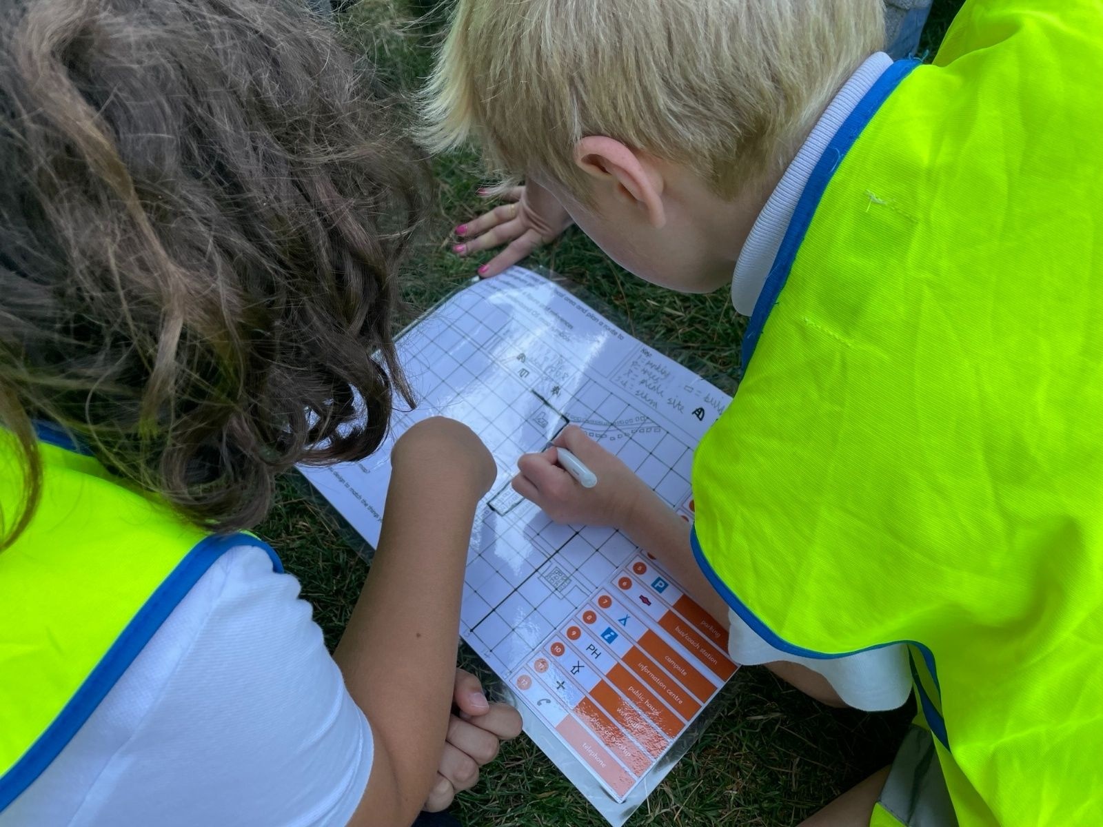
We used our mapping skills on our fieldwork trip to Buckingham Park.
Park2.png2949We used our mapping skills on our fieldwork trip to Buckingham Park.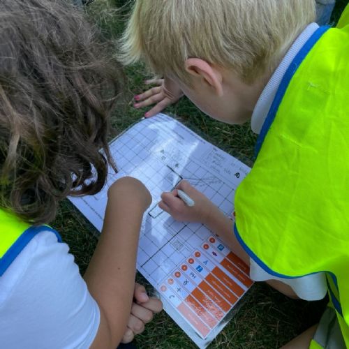 Park1.png2948
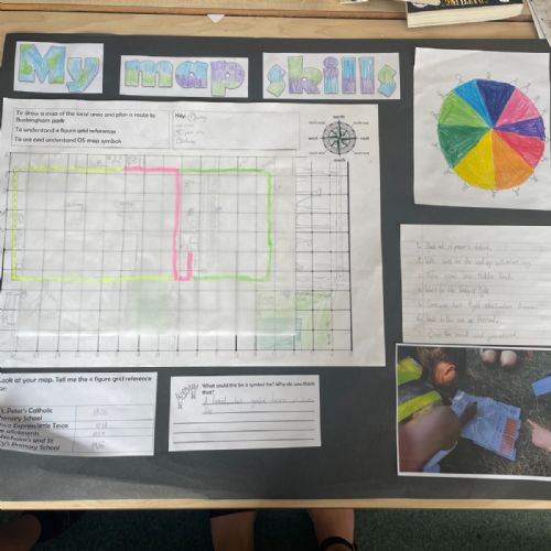
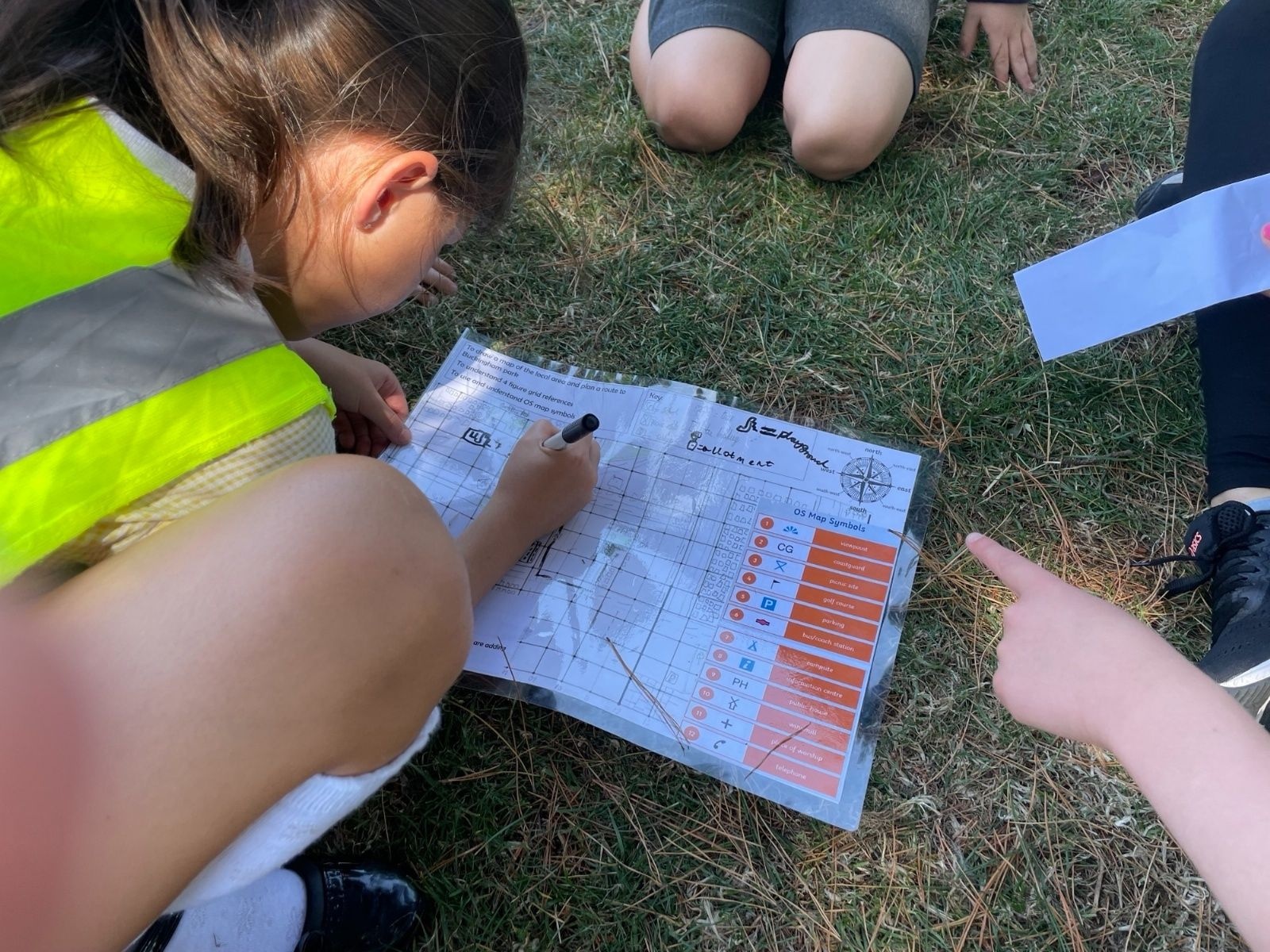
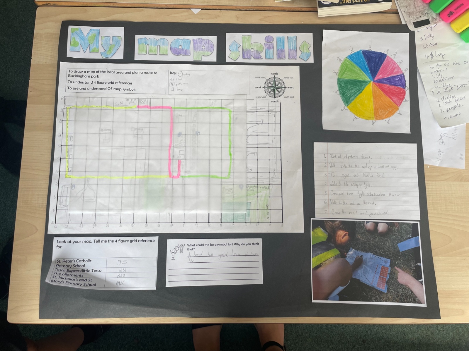
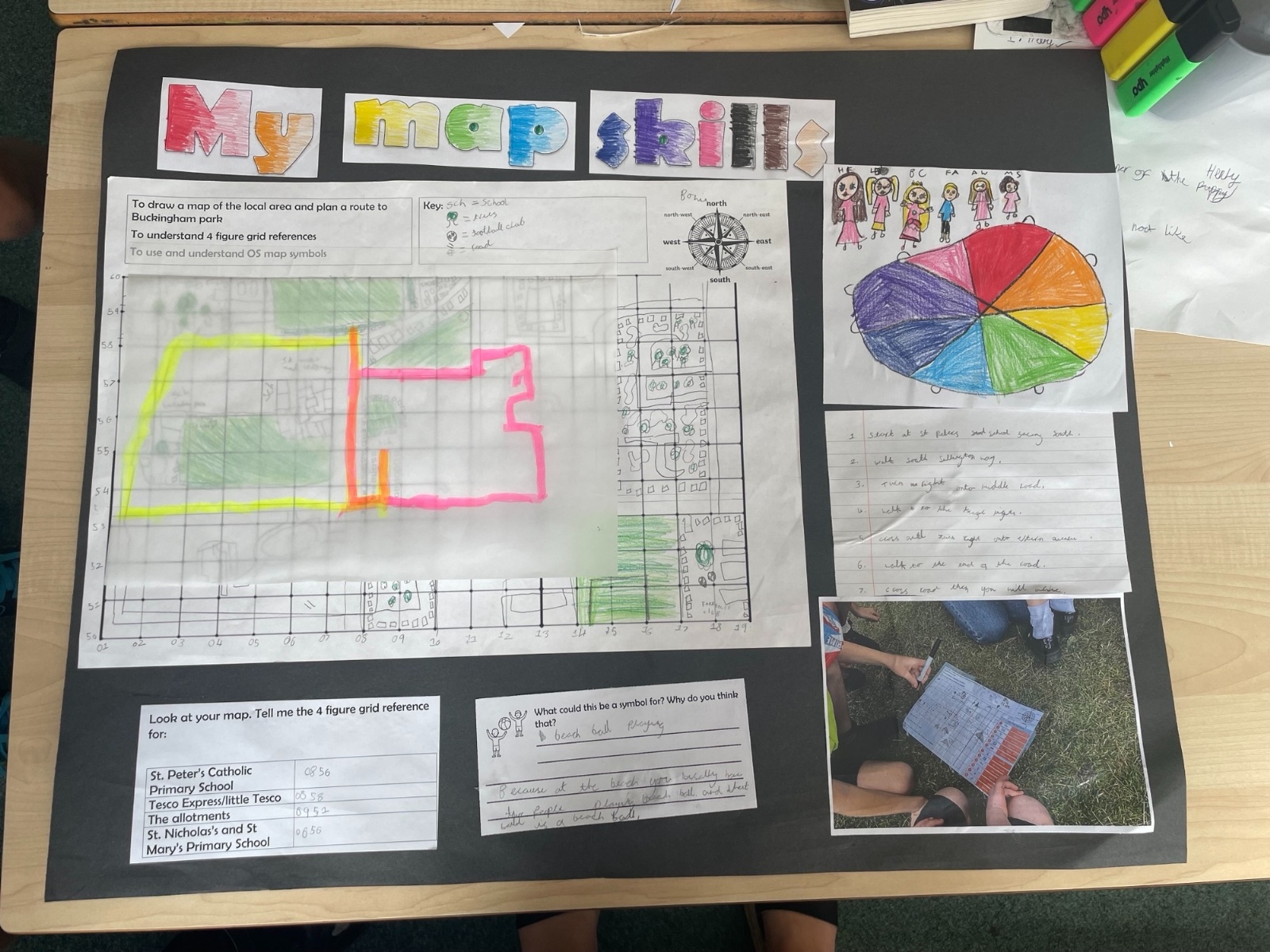
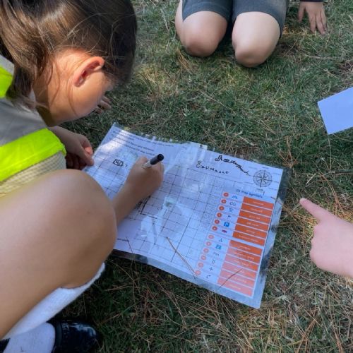
We went on a trip to Buckingham Park. we made a map using grid references and symbols. We planned a route to get to the park and took a different route back. We used Google Earth and Google Map to plan our routes.
Image[1].jpeg2947We went on a trip to Buckingham Park. we made a map using grid references and symbols. We planned a route to get to the park and took a different route back. We used Google Earth and Google Map to plan our routes.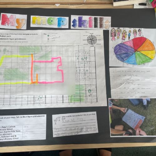 Image.jpeg2946
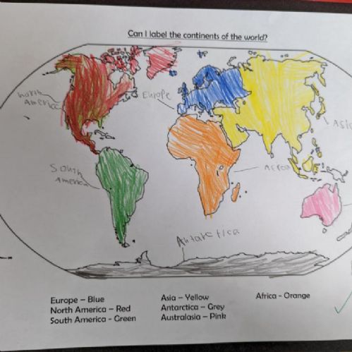
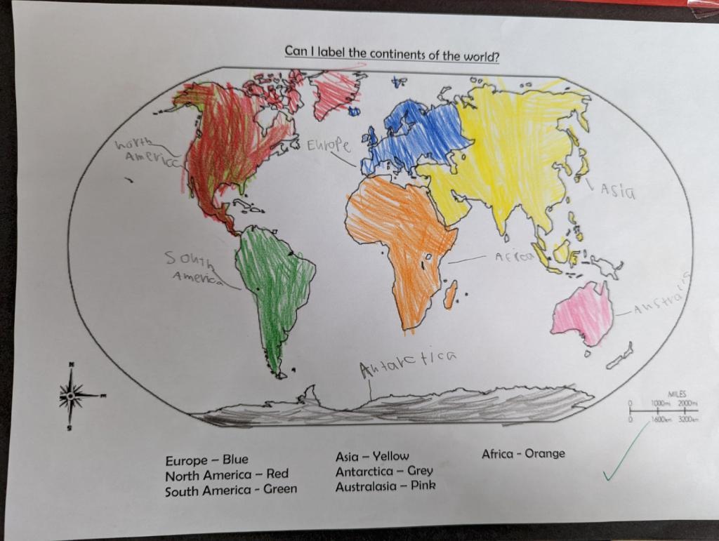
We have been locating different continents. We learnt about the northern and southern hemisphere.
PXL20220118120804597.jpg2826We have been locating different continents. We learnt about the northern and southern hemisphere.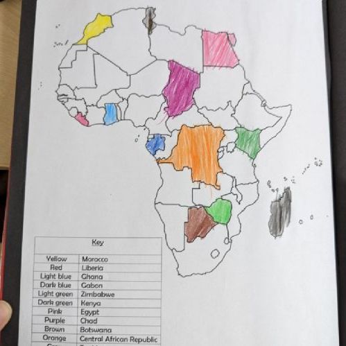
We have been locating different countries in Africa.
PXL20220118120746177.jpg2825We have been locating different countries in Africa.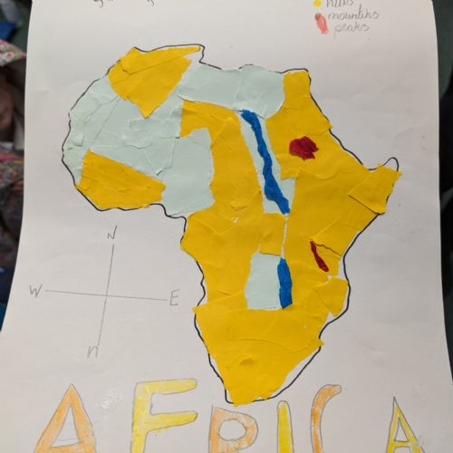
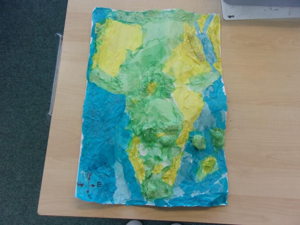
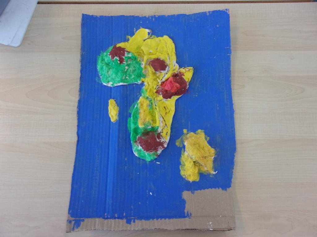
Some of Year 3 made collage messy maps of Africa
PXL20231102150120615.jpg3346Some of Year 3 made collage messy maps of Africa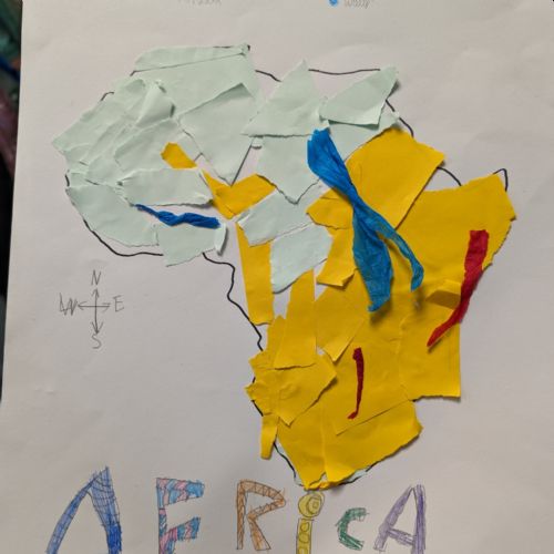
Some of Year 3 made collage messy maps of Africa
PXL20231102150101672.jpg3344Some of Year 3 made collage messy maps of Africa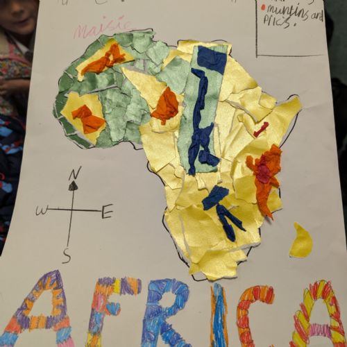
Some of Year 3 made collage messy maps of Africa
PXL20231102150112080.jpg3345Some of Year 3 made collage messy maps of Africa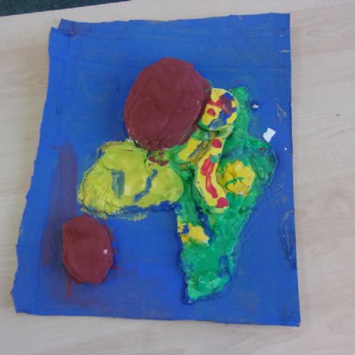
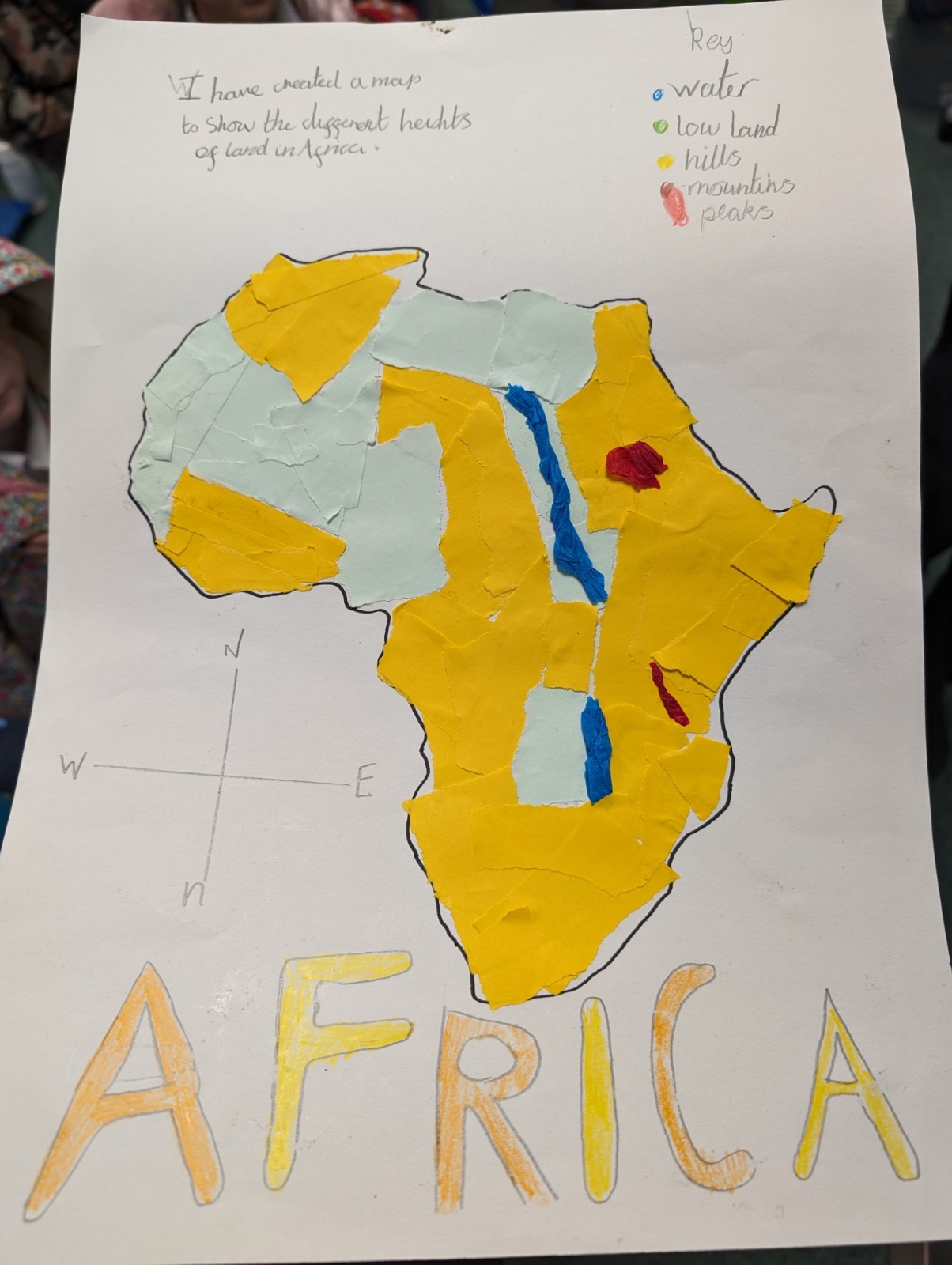
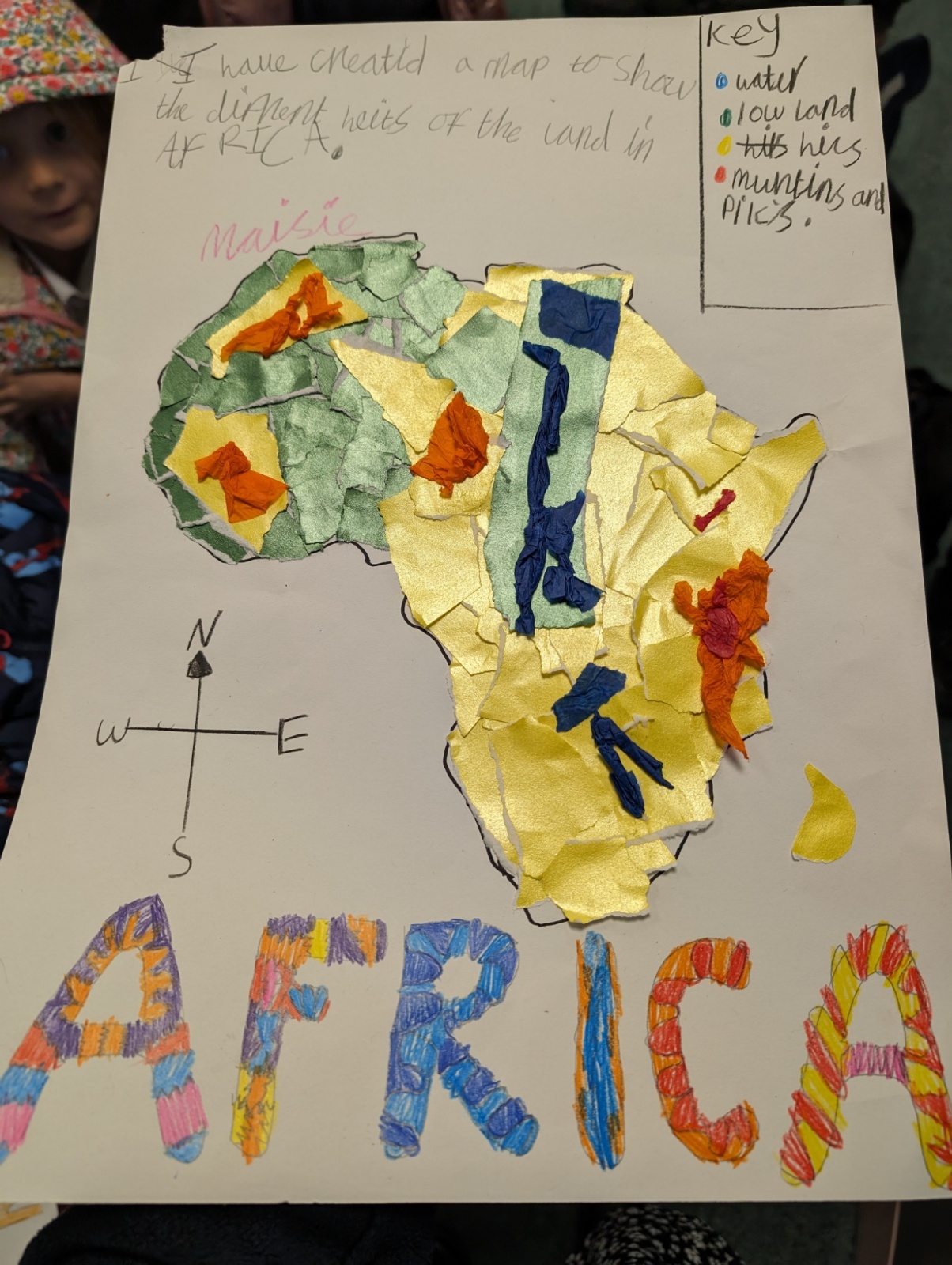
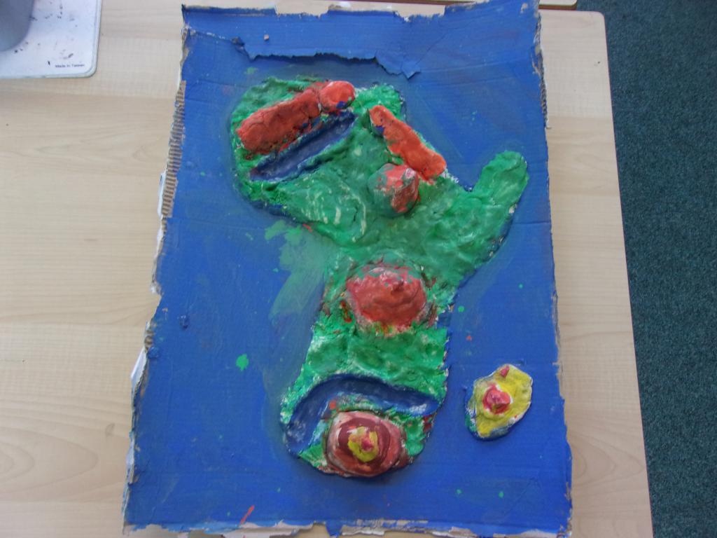
Some of Year 3 made salt dough messy maps of different countries in Africa. We learnt about their physical geography including rivers and if they have higher areas of land.
1023415.JPG2823Some of Year 3 made salt dough messy maps of different countries in Africa. We learnt about their physical geography including rivers and if they have higher areas of land.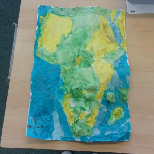
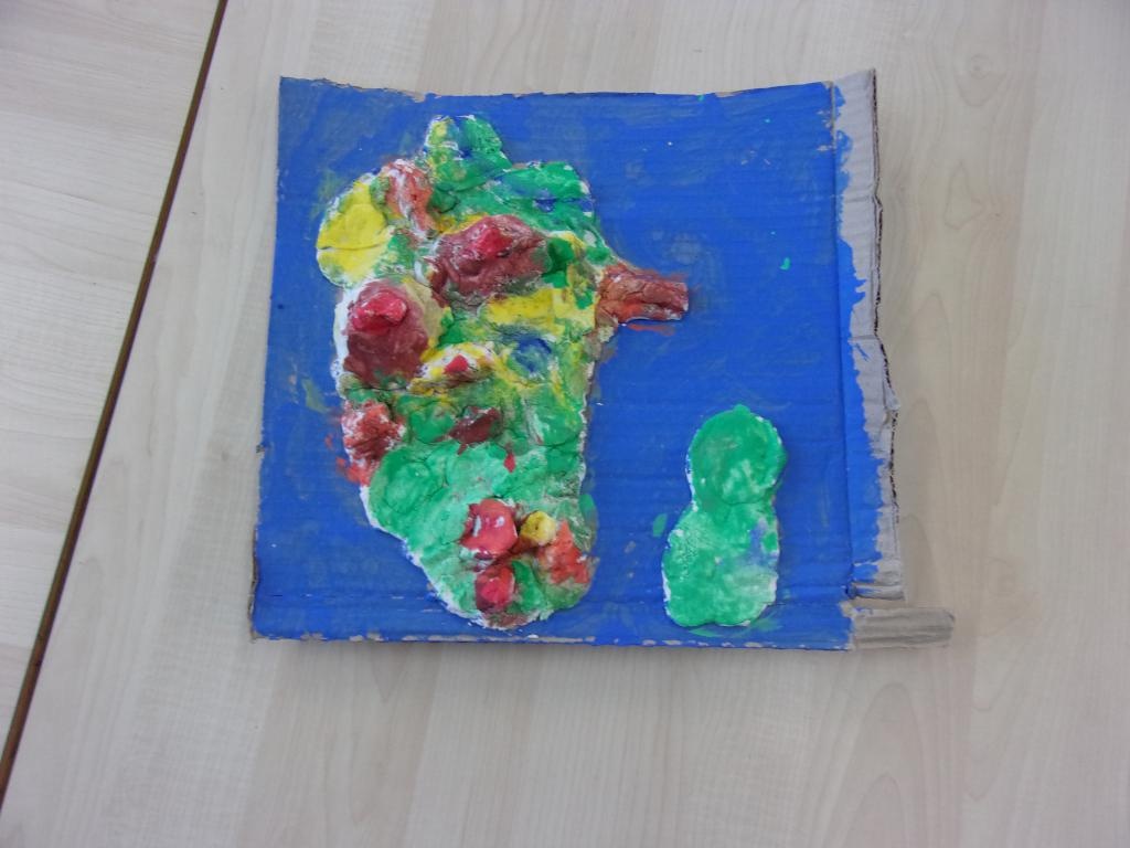
Some of Year 3 made salt dough messy maps of different countries in Africa. We learnt about their physical geography including rivers and if they have higher areas of land.
1023416.JPG2824Some of Year 3 made salt dough messy maps of different countries in Africa. We learnt about their physical geography including rivers and if they have higher areas of land.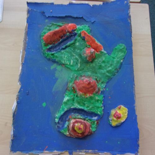
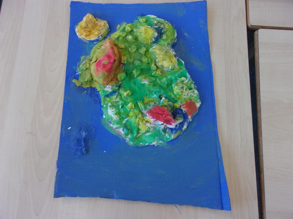
Some of Year 3 made salt dough messy maps of different countries in Africa. We learnt about their physical geography including rivers and if they have higher areas of land.
1023414.JPG2822Some of Year 3 made salt dough messy maps of different countries in Africa. We learnt about their physical geography including rivers and if they have higher areas of land.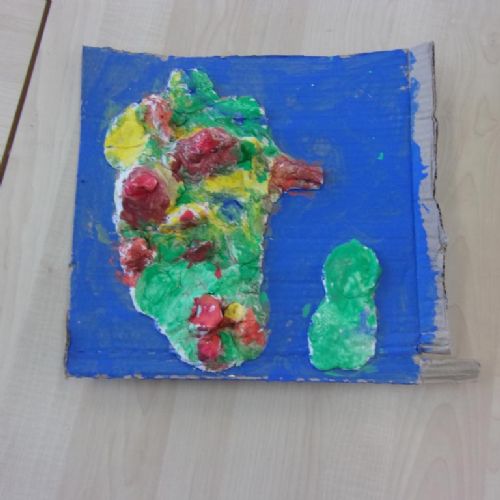
Some of Year 3 made salt dough messy maps of different countries in Africa. We learnt about their physical geography including rivers and if they have higher areas of land.
1023413.JPG2821Some of Year 3 made salt dough messy maps of different countries in Africa. We learnt about their physical geography including rivers and if they have higher areas of land.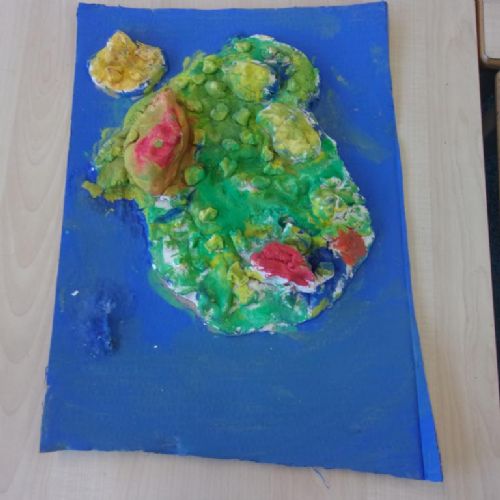
Some of Year 3 made salt dough messy maps of different countries in Africa. We learnt about their physical geography including rivers and if they have higher areas of land.
1023411.JPG2819Some of Year 3 made salt dough messy maps of different countries in Africa. We learnt about their physical geography including rivers and if they have higher areas of land.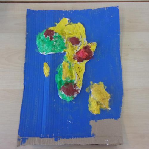
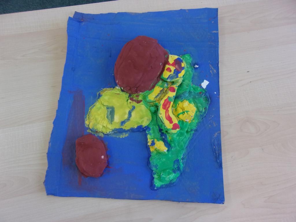
In groups we made salt dough messy maps of different countries in Africa. we learnt about their physical geography including rivers and if they have higher areas of land.
1023410.JPG2818In groups we made salt dough messy maps of different countries in Africa. we learnt about their physical geography including rivers and if they have higher areas of land.